
Using Drones In Peatland Restoration
Drone-Powered Land Management
We are pioneering the use of drones for peatland restoration and monitoring projects, and testing their effectiveness for other land management applications.

Area Surveyed

Flight Distance

Qualified Drone Operators
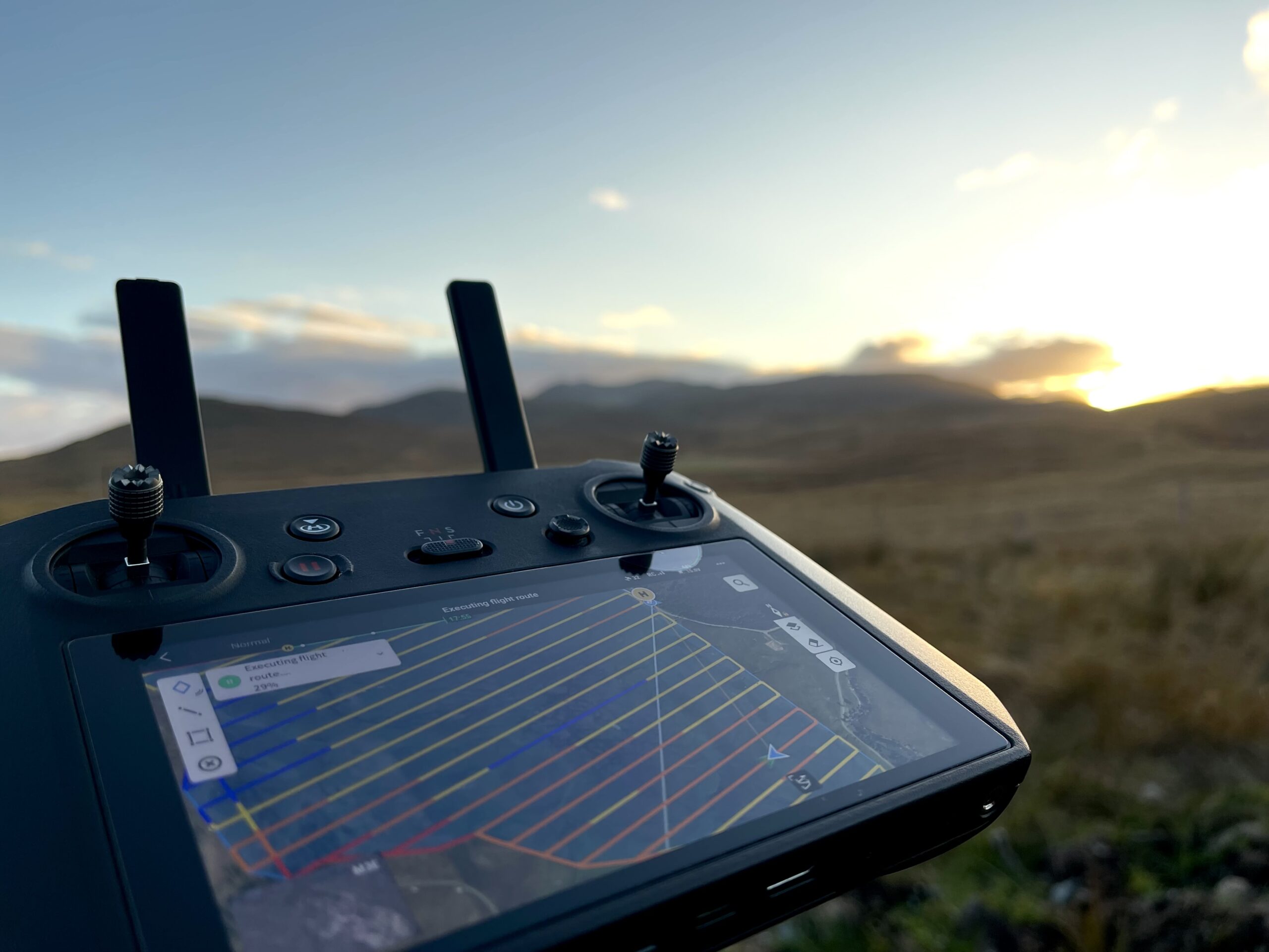
The use of drones in peatland restoration benefits all stakeholders…
Drones have become an integral part of our workflow, thanks to the accuracy and efficiency that they provide. By surveying peatlands with drones, we are able to create high quality orthomosaic maps that provide superior detail compared to regular satellite imagery as well as valuable visuals of our natural landscapes. Drones are an effective means of surveying rural areas as they are non-damaging to landscapes, this merges the two worlds of pioneering technologies and natural environments whilst leaving no trace.
Our in-house drone operators
ADLnature conducts all drone operations in house to maintain a high quality of work, and currently boasts five UK Civil Aviation Authority Accredited A2CofC and GVC qualified drone operators. We are fully commercially insured to carry out all our operations.
This ensures quality across the board for all our drone use and data collection. This secures efficiency and improves the timescales of our work. Our unique ability to conduct our drone surveys in-house has been invaluable in our delivery of high-quality projects.
Utilising the latest technology to assist in our restoration projects…
In addition to regular RGB orthomosaics, ADLnature has the capability to conduct multispectral drone surveys, which can be used for plant health analysis on peatlands to monitor the success of restoration. We utilise the latest technology available in order to maintain our high standards, by using both the newest enterprise grade drones and software.
Meet The Team
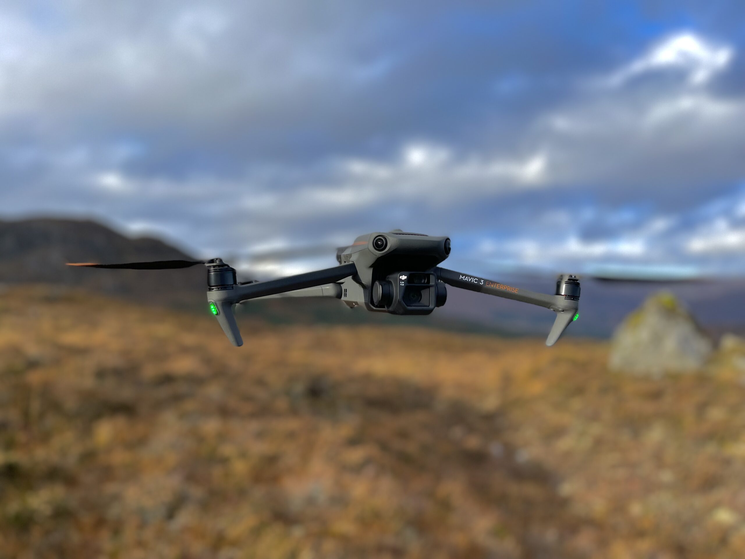
Mavic 3 Enterprise
This is the primary drone used for most surveys as it is the most versatile. It provides both a wide-angle lens as well as a second sensor with an impressive 56x zoom, making it the perfect surveying companion to collect orthomosaic and stunning imagery.
Mavic 3 Enterprise – Multispectral
The newest employee to the workforce provides the capability to conduct highly detailed multispectral surveys, integral to monitoring the health and progress of peatlands both pre and post restoration. It is also fitted with a standard RGB lens to capture standard orthomosaics.
