Fannich
Fannich (Phases 1-3)
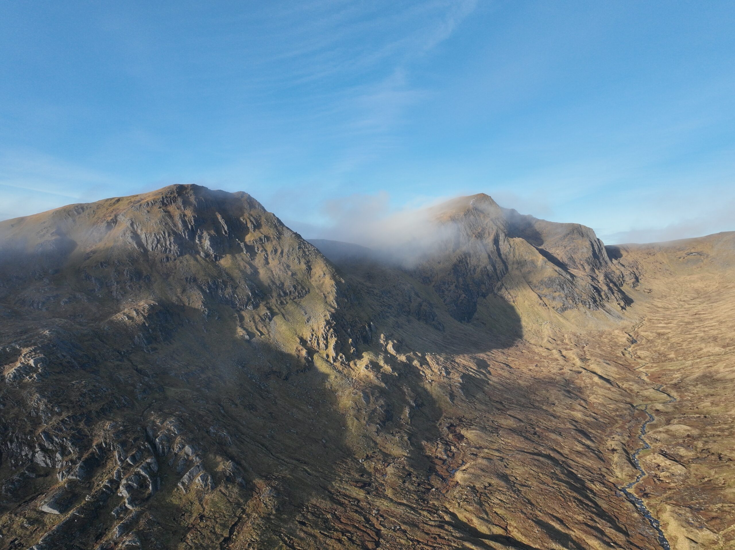
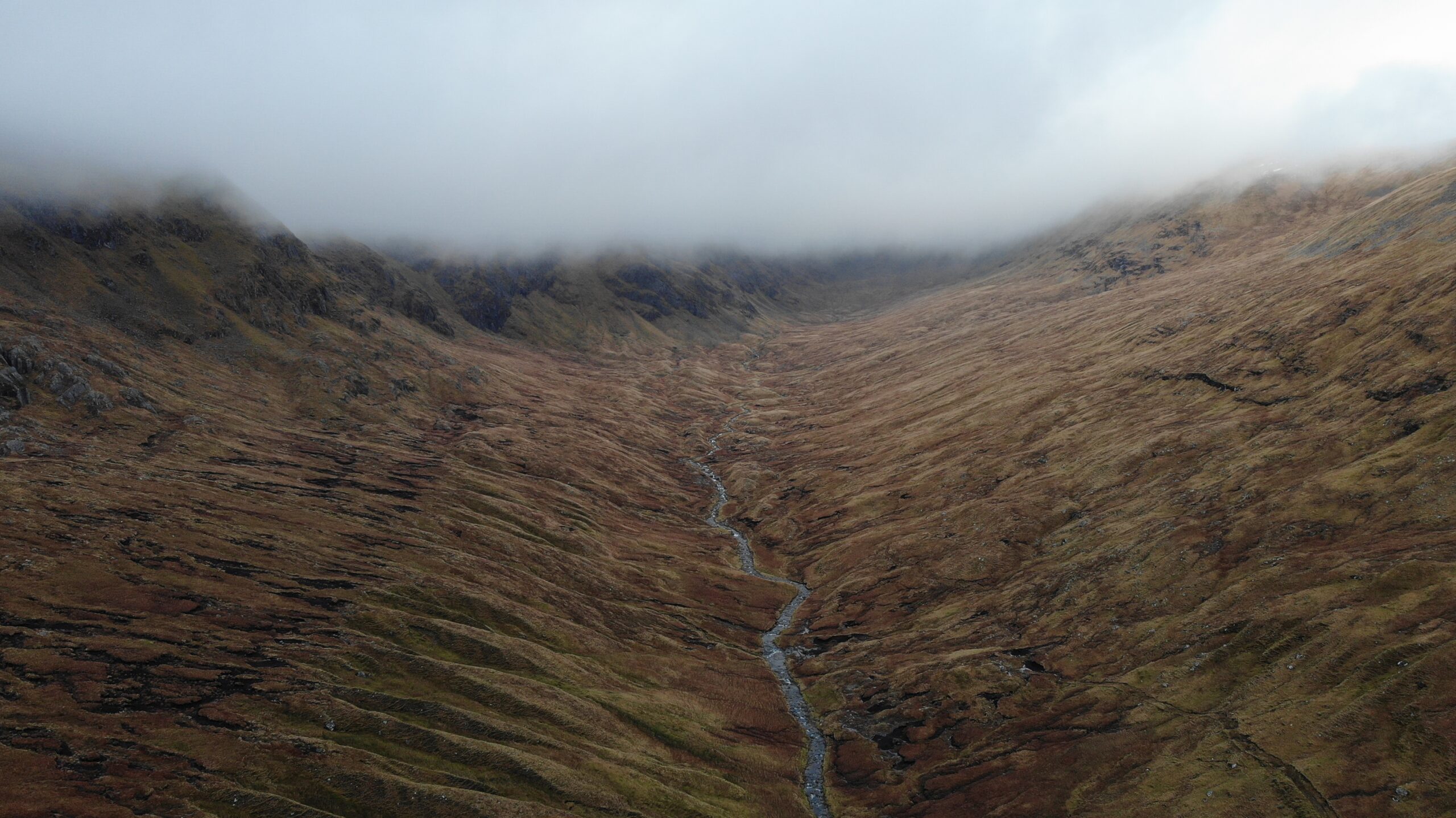
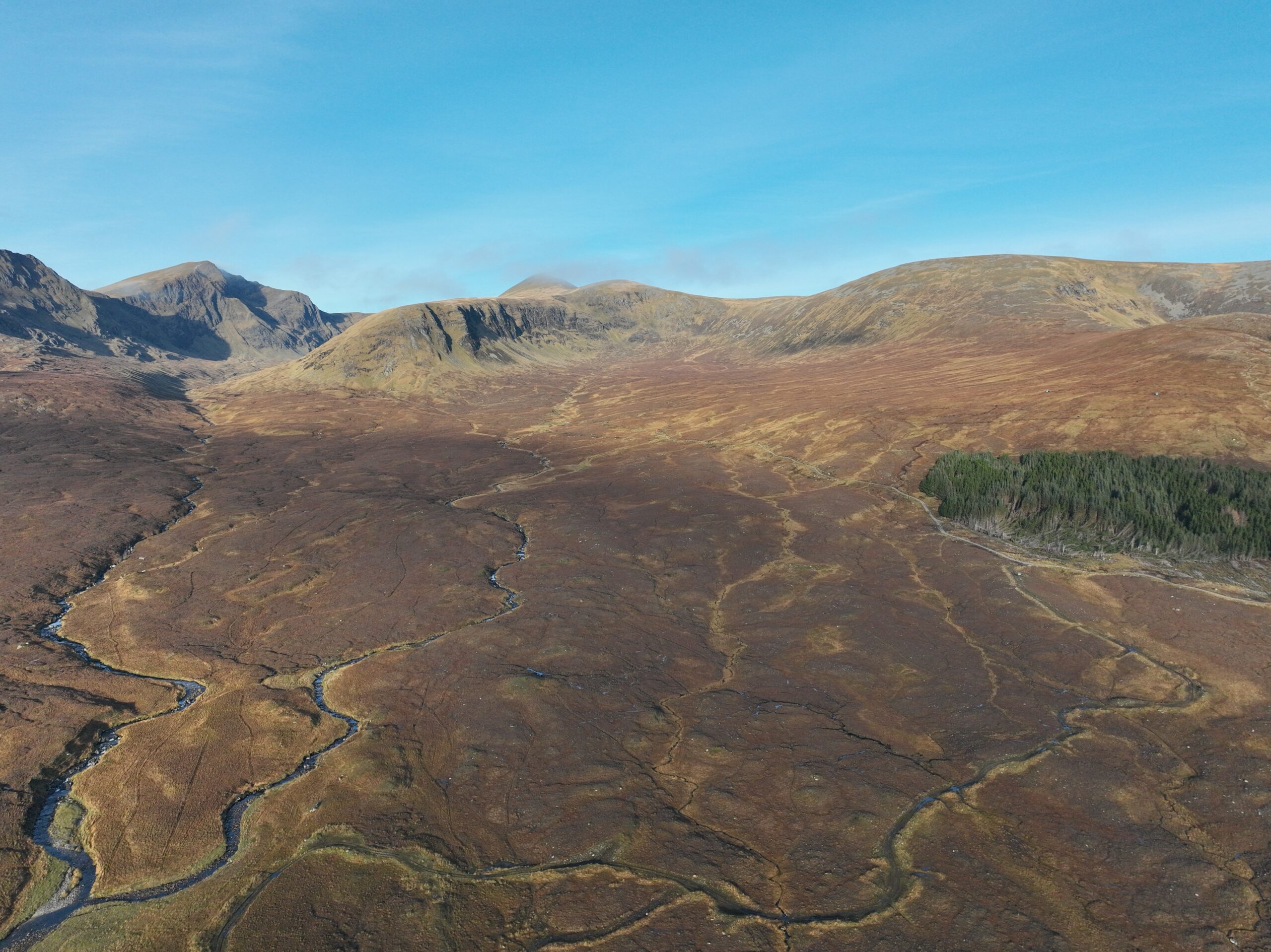
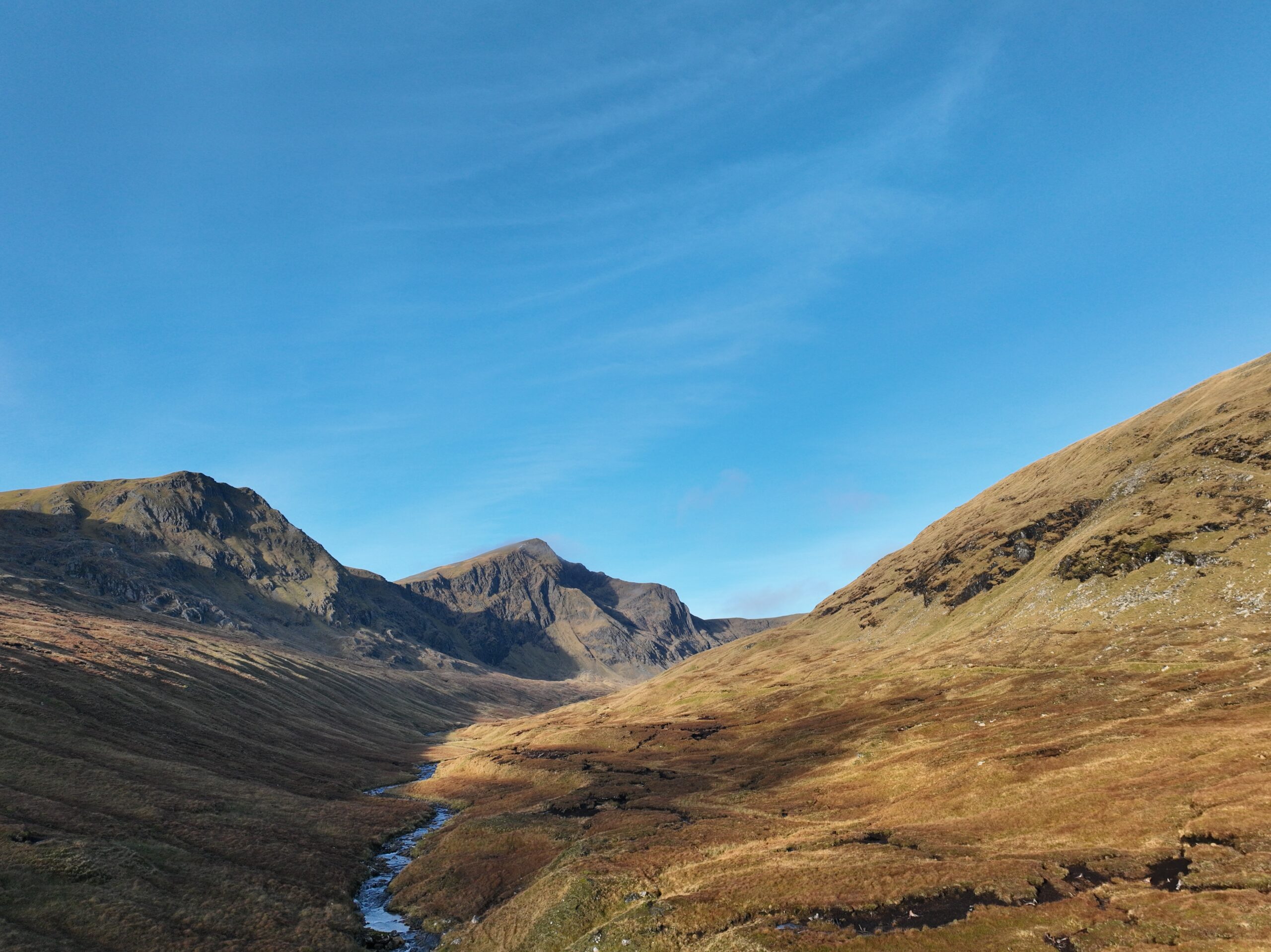
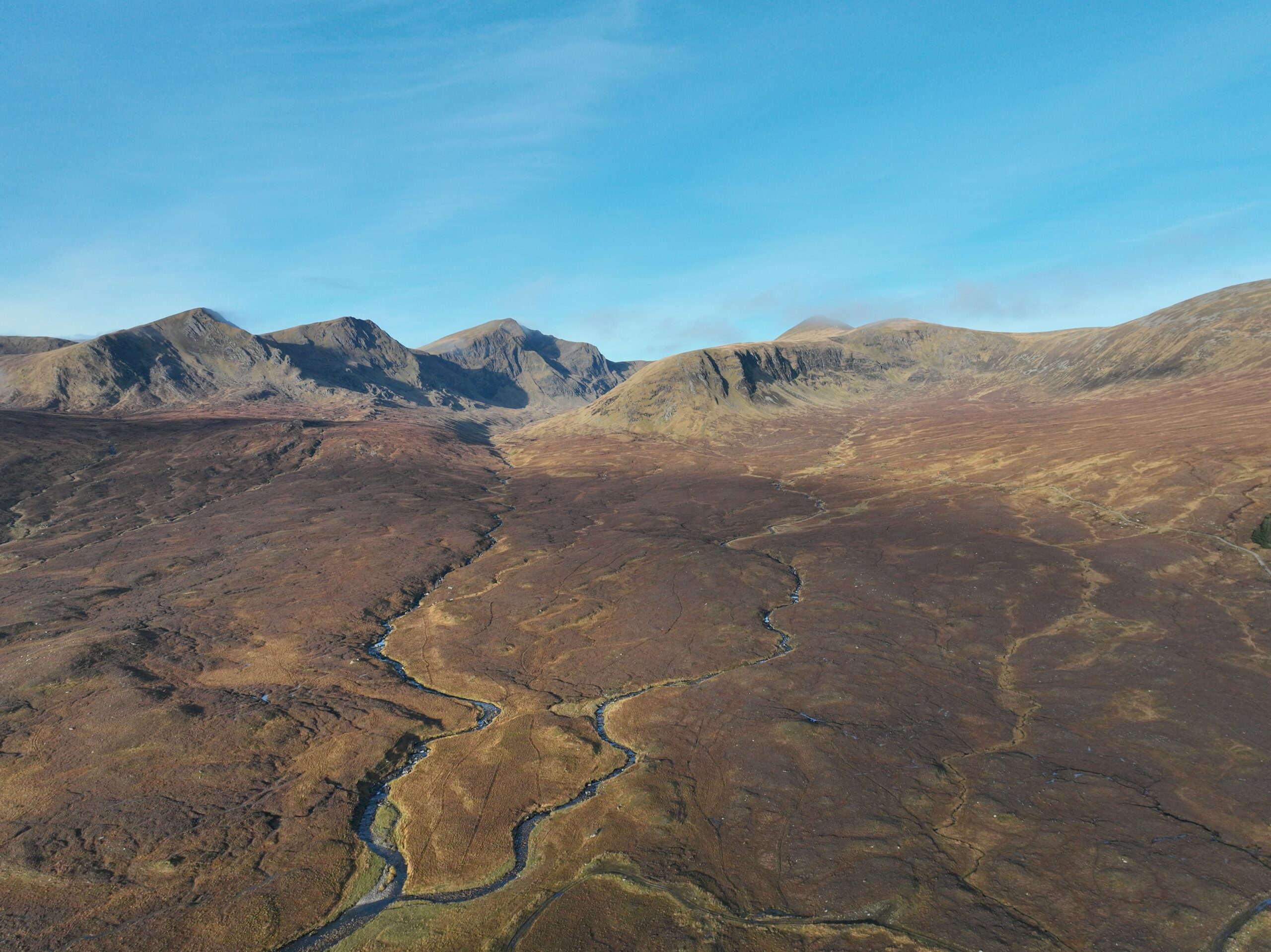
Fannich Estate, covering 3760 ha, is situated in Ross & Cromarty in the Scottish Highlands. Lying north of Loch Fannich the estate is surrounded by five Munros, Sgurr nan Each (923m), An Coileachan (923m), Meall Gorm (949m) and Sgurr nan Clach Geala (1093m).
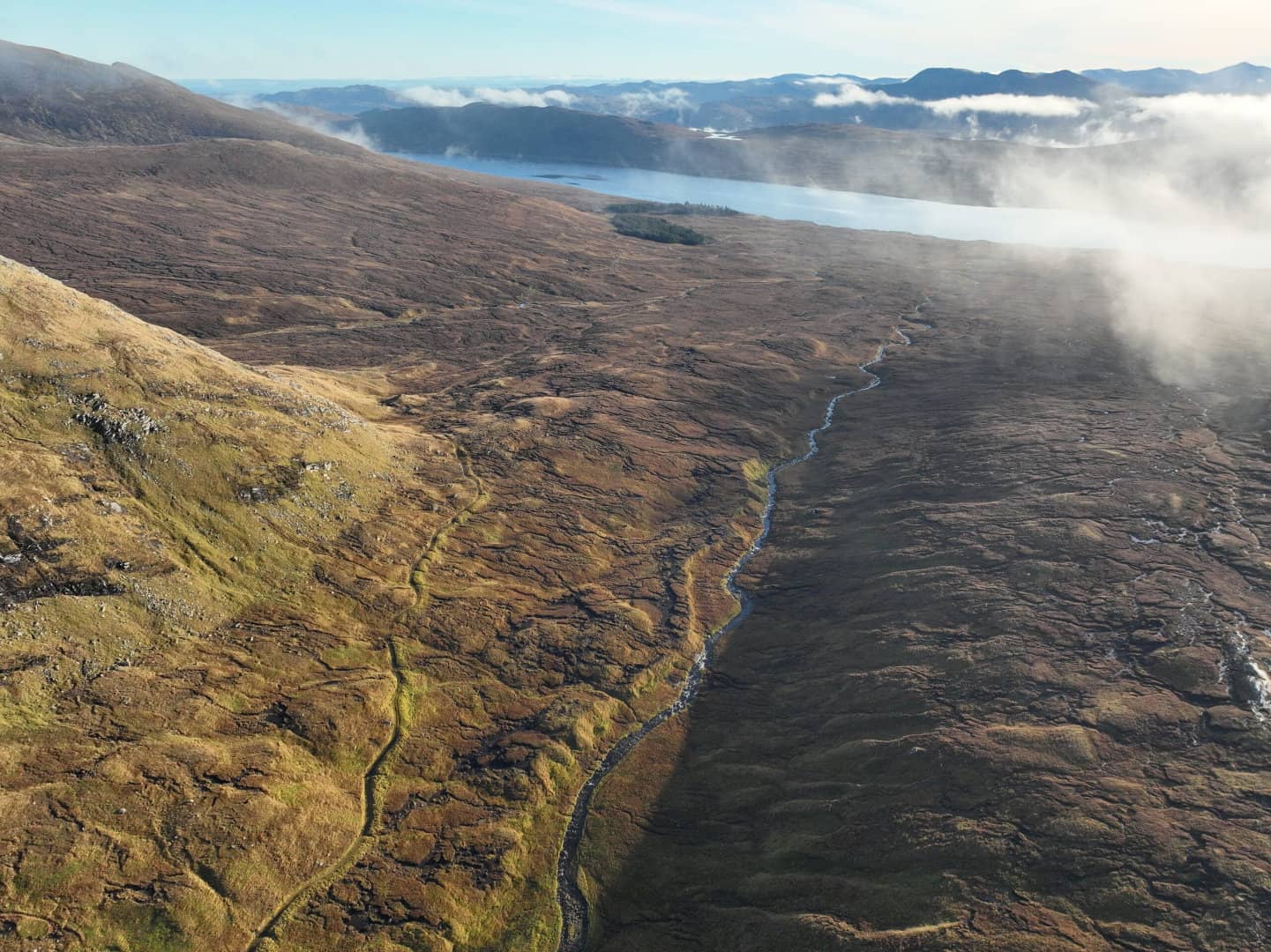
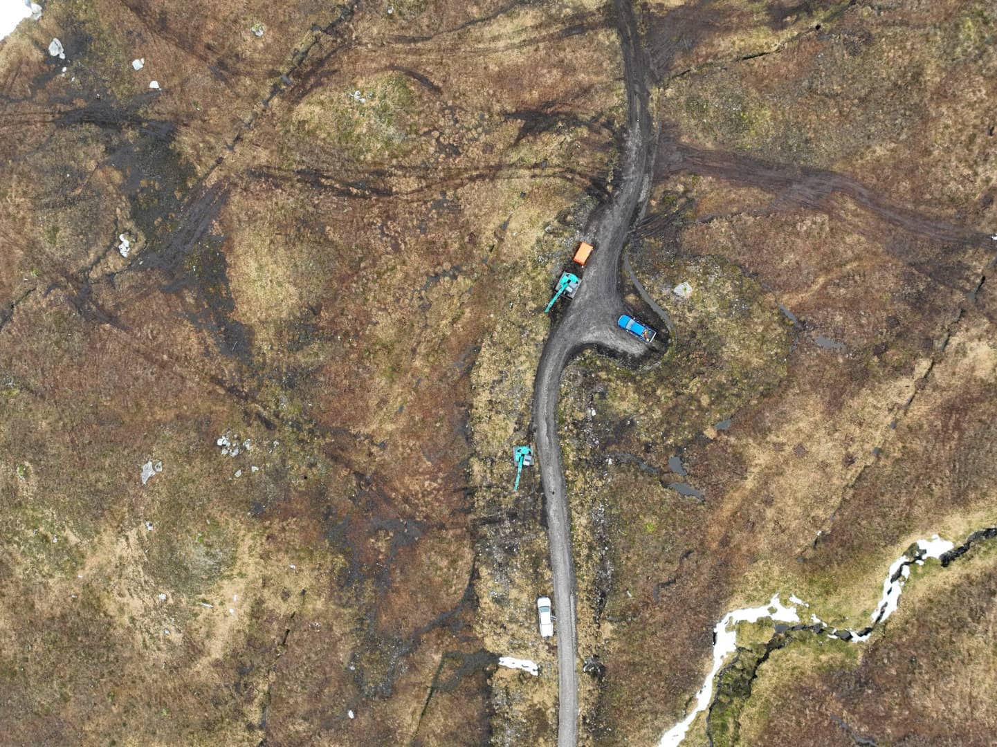
A number of designations can be found on Fannich, including the Fannich hills SSSI, and the Fannich Hills SAC. Phase 1 – Coire Riabach, at 104 ha, was the original phase of restoration on Fannich Estate, found in the steep coire between Meall Gorm (949m) and An Coileachan (923m). As with much of the restoration on Fannich, works have had the extra benefit of increasing productivity and output of small hydro instalments across the estate. In the case of phase 1, much of this benefit included the prevention of sediment run-off from the previously eroding peat haggs above.
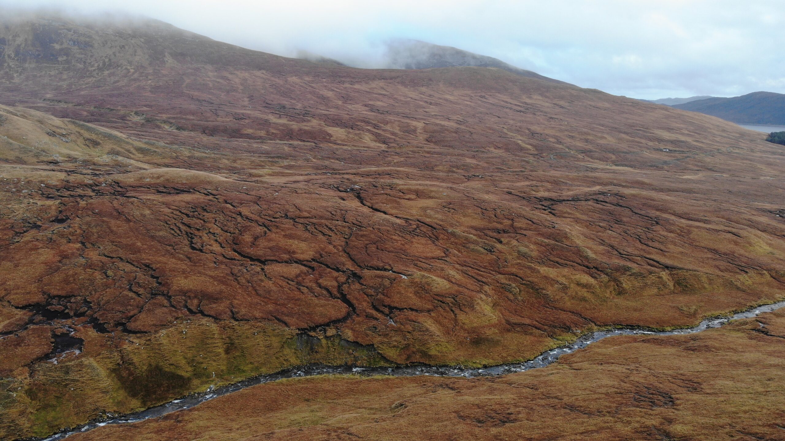
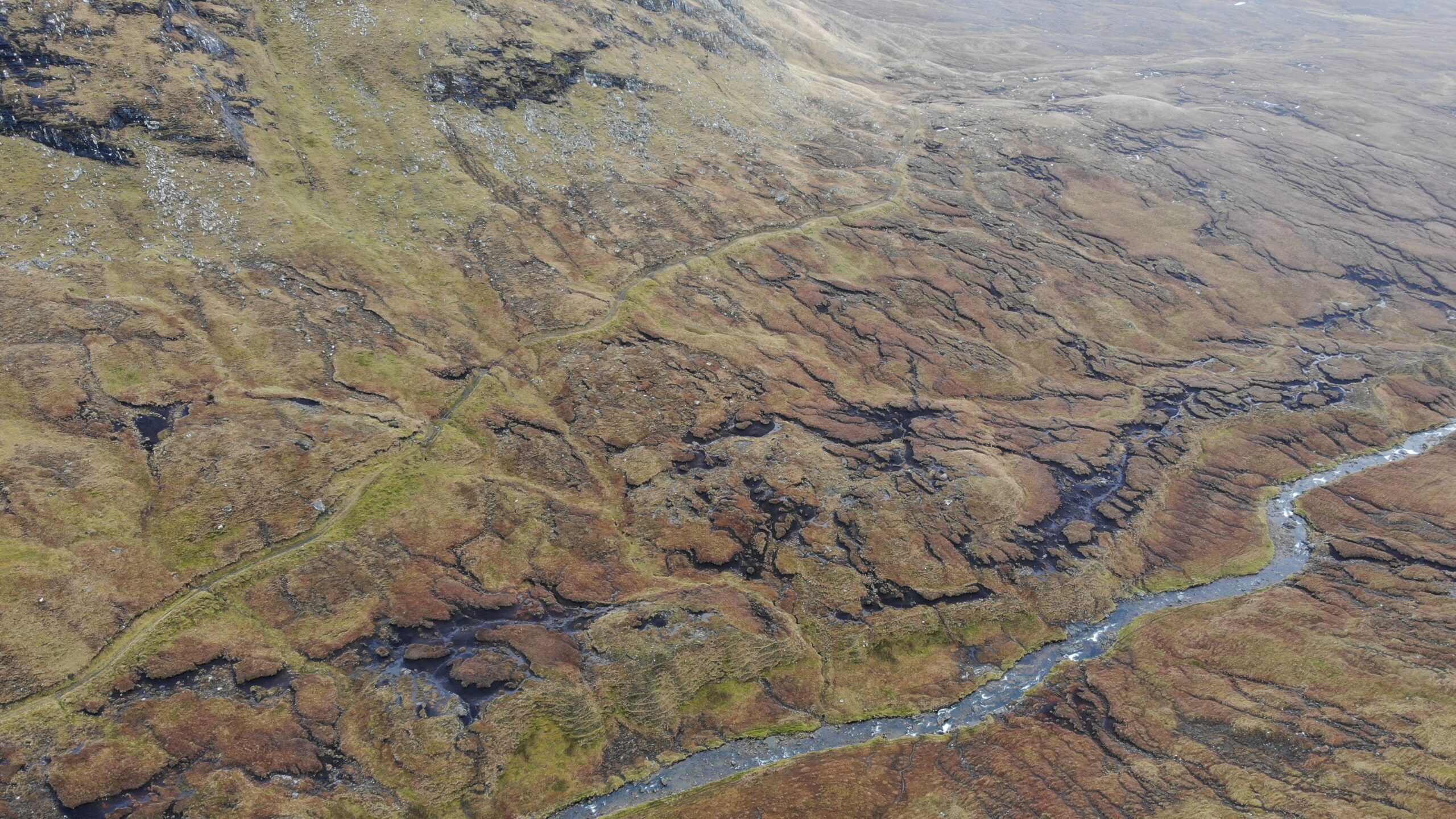
Phase 2 – Coire Beag I, at 86 ha, saw a combination of both hagg and gully restoration and hill drain blocking. Found below Meall Gorm (949m), this site previously saw extensive drainage of water and peat through eroding channels and hill drains before restoration work took place to manage and prevent this loss.
Phase 3 – Coire Beag II, at 115 ha, is the continuation of restoration works as part of the wider area from Coire Beag I. Similarly, to Coire Beag I, A large number of hill drains were targeted during the work here, damming them, and ensuring that vast quantities of water are not lost from the hill. This has the knock-on effect of increasing the output of a number of small hydro units found below, by retaining water on the hill for a more controlled and long-term release.
Details
Registry name – Fannich (Phases 1-3)
Registry ID – 104000000027040
Project type – Peatland
Total area – 256.99 ha
Grid reference – NH224676/ NH 209684
County / Region / State – Highland

Pictures of this project